search
Shinkansen map Tokyo
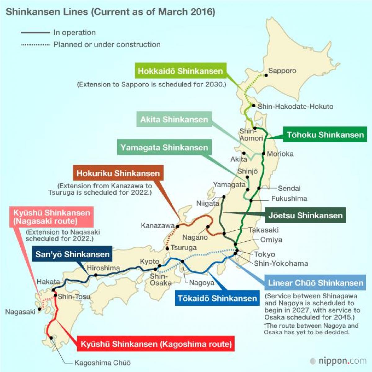
Shinkansen Tokyo station map. Shinkansen map Tokyo (Kantō - Japan) to print. Shinkansen map Tokyo (Kantō - Japan) to download. The Shinkansen (新幹線?, Tokyo new trunk line), also known as the "Bullet Train", is a network of high-speed railway lines in Japan operated by four Japan Railways Group companies. Starting with the Tōkaidō Shinkansen in 1964, the network of shinkansen has expanded to currently consist of 2,387.7 km (1,483.6 mi) of lines with maximum speeds of 240–300 km/h (149–186 mph), 283.5 km (176.2 mi) of Mini-shinkansen lines with a maximum speed of 130 km/h (81 mph), and 10.3 km (6.4 mi) of spur lines with Shinkansen services as its shown in shinkansen map Tokyo.
Many Shinkansen lines in Tokyo were proposed during the boom of the early 1970s but have yet to be constructed. These are called Seibi Shinkansen (整備新幹線?) or planned Shinkansen. One of these lines of shinkansen, the Narita Shinkansen to Narita Airport, was officially cancelled, but a few remain under development. The shinkansen started in 1964 in time for the Tokyo Olympics (see shinkansen map Tokyo). However, the history of Japan bullet train goes back to the 1930s and beyond.


