search
Chiyoda map
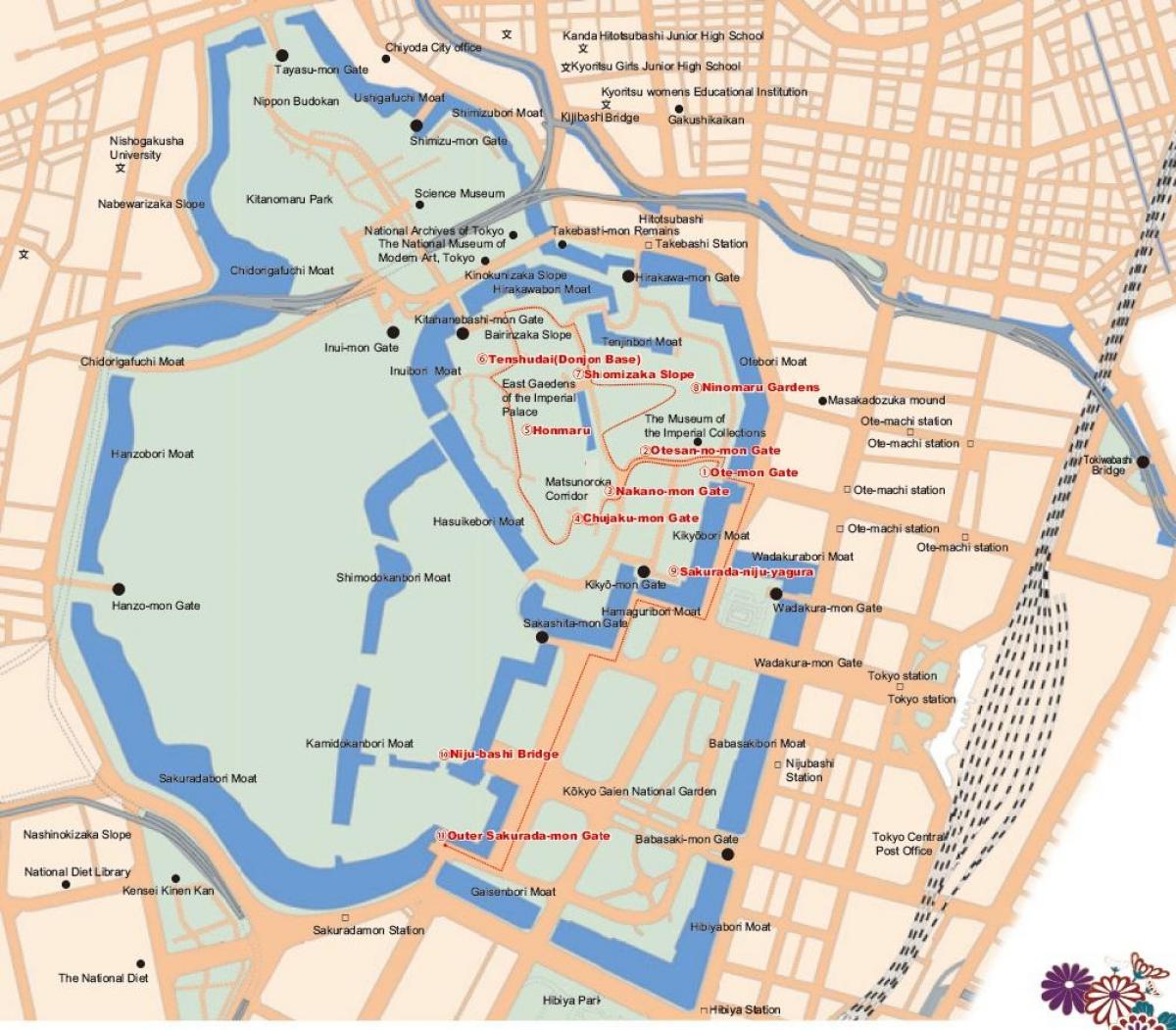
Chiyoda Tokyo map. Chiyoda map (Kantō - Japan) to print. Chiyoda map (Kantō - Japan) to download. Chiyoda (千代田区 Chiyoda-ku?) is one of the 23 special wards in central Tokyo, Japan as its shown in Chiyoda map. In English, it is called Chiyoda City. As of October 2007, the ward has an estimated population of 45,543 and a population density of 3,912 people per km², making it by far the least populated of the special wards. The total area is 11.64 km², of which the Imperial Palace takes up 12%. Chiyoda consists of the Palace and a surrounding radius of about 1 kilometer. It inherited the name, literally meaning "field of a thousand generations," from Chiyoda Castle (the other name of Edo Castle).
The most important attractions in Chiyoda are: Akihabara, Hibiya Park, Imperial Palace, National Diet Building, Nippon Budokan, Tokyo International Forum, Tokyo Station, Tokyo Takarazuka Theater as its mentioned in Chiyoda map. Many government institutions, such as the Diet, Prime Minister residence, and Supreme Court, are located in Chiyoda, as are Tokyo landmarks such as Yasukuni Shrine, Tokyo Station, and the Budokan. Fifteen embassies are located in Chiyoda.


